
A city proposal set for review Wednesday would double allowable housing density and introduce mixed-use development across 61 properties south of Grand Avenue, with a final vote possible later this month.
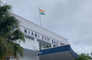
A vision of a more walkable, densely populated and commercial West Grove will be on display Wednesday, as Miami’s Planning, Zoning and Appeals Board (PZAB) considers a city proposal to rezone 61 properties near Grand Avenue and Douglas Road to allow more housing and, in some areas, new mixed-use development.
Planning documents describe the effort as a way to support a “more compatible mix of uses” and to create a transition between the Grand Avenue corridor and surrounding residential neighborhoods.
The zoning changes would not come with affordable housing requirements.
The four proposals — sponsored by Miami District 2 Commissioner Damian Pardo — would double allowable residential density from 18 to 36 units per acre by reclassifying properties now designated for duplex-scale residential use to allow multifamily housing, and in some areas, permit commercial and mixed-use development where only low-density residential uses are currently allowed.
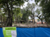
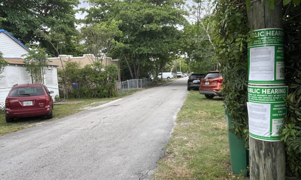
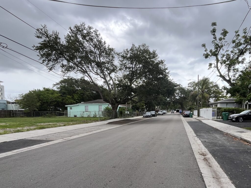
The proposed rezoning would affect much of Thomas Avenue and Washington Avenue west of Douglas Road, as well as one block of Thomas Avenue east of Douglas Road. A handful of properties along Grand Avenue and Douglas Road would also be affected.
Of the 61 properties under consideration for rezoning, the vast majority are owned by investment and development interests, county tax records show; few are owner-occupied.
With higher densities and mixed-use commercial development allowed under the proposed changes, property values could be significantly enhanced. Some of the properties — those receiving a T4-L zoning designation — could also qualify for development under the state’s Live Local Act, which allows projects to skirt the city’s more restrictive zoning code.
The items before PZAB Wednesday are structured as two coordinated sets of changes, each pairing an amendment to the city’s Neighborhood Comprehensive Plan with a zoning change affecting the same properties. Both approvals are required: the land-use change establishes what can be built, while the zoning change governs how it is built.
The changes would occur in two clusters. In the larger one — a multi-block area southwest of the intersection of Grand Avenue and Douglas Road — the city is proposing to change the Future Land Use designation from “Duplex Residential” to “Low Density Restricted Commercial,” along with a zoning change from T3-O, a lower-intensity suburban designation, to T4-L, a general urban category.
If approved, the change would allow buildings that combine housing with ground-floor commercial uses, as well as stand-alone neighborhood businesses — uses not permitted under current zoning.
The smaller cluster — 11 properties along Thomas Avenue east of Douglas Road — would see a change from “Duplex Residential” to “Low Density Multifamily Residential,” along with a zoning change from T3-O to T4-R, allowing small apartment buildings and other multifamily housing types in place of duplexes, but not commercial uses.
City documents cite “changing conditions” in the area, including vacant land and a mix of building types, and say the proposals are consistent with the Comprehensive Neighborhood Plan.
After Wednesday’s review by PZAB, the changes will go before the City Commission — possibly as early as May 14 — for a final vote.